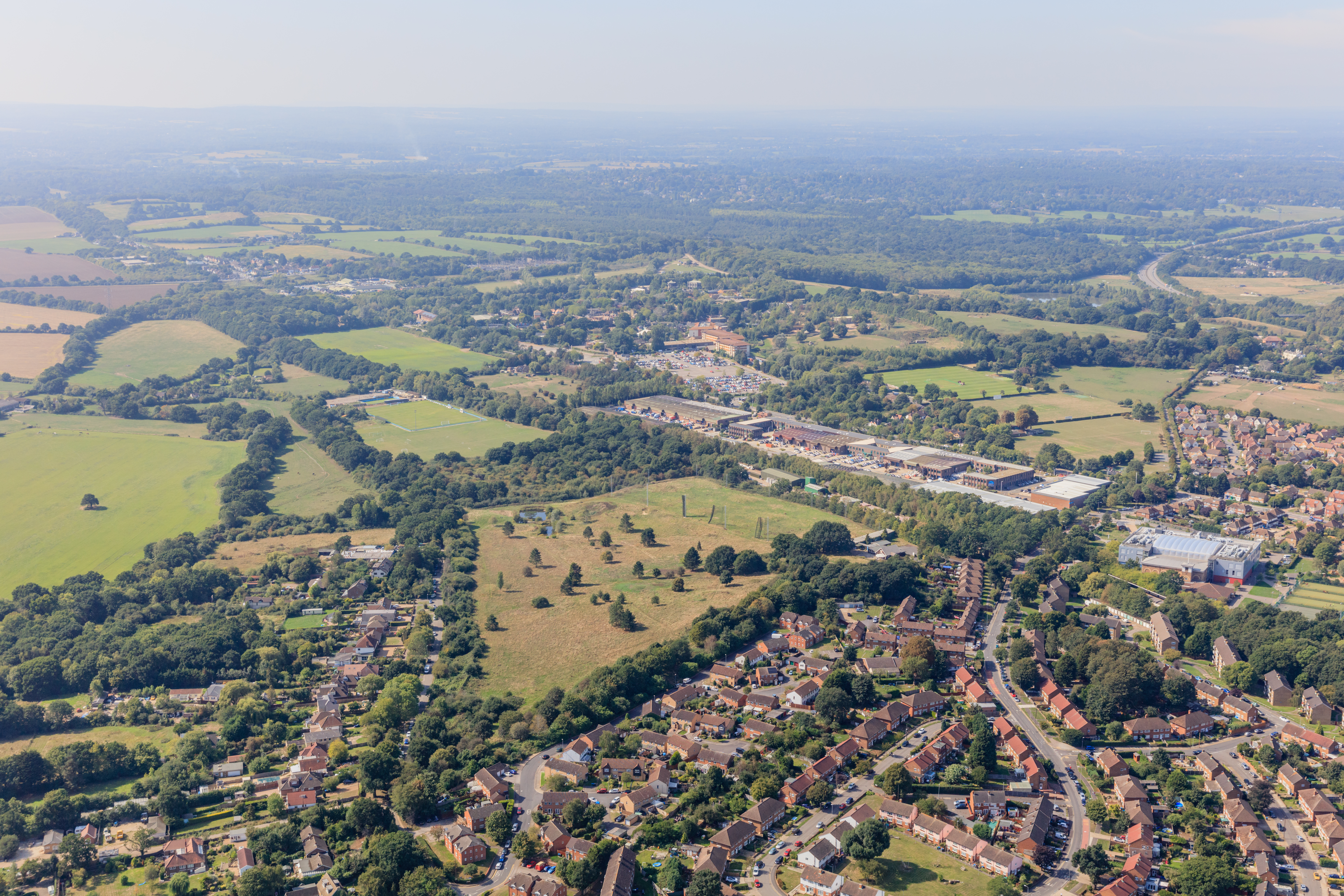
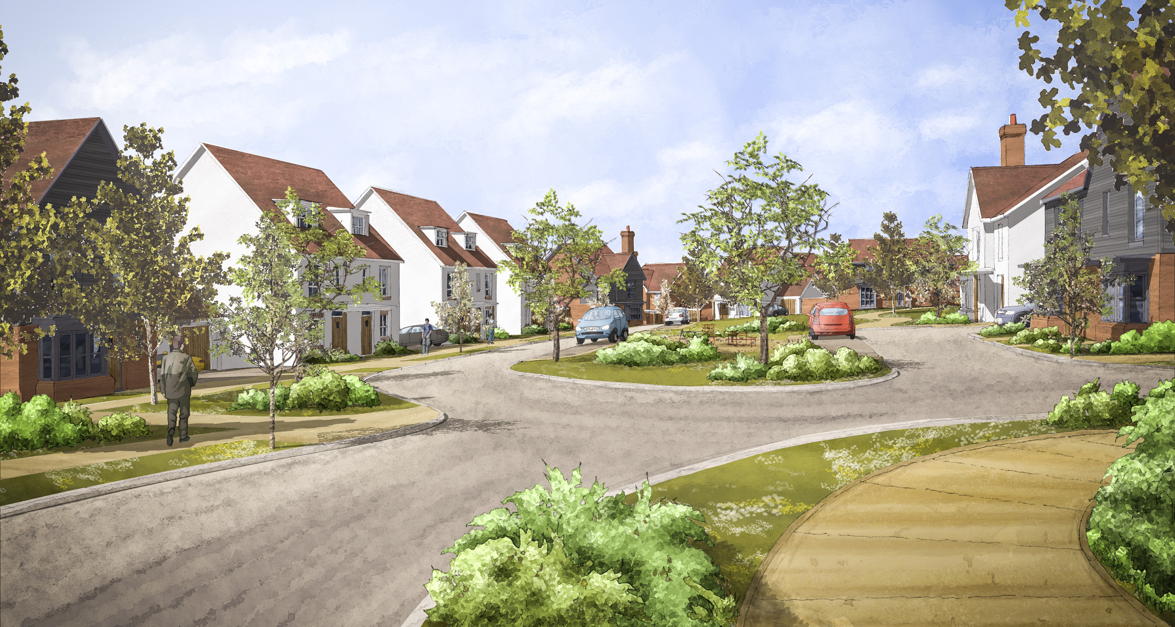
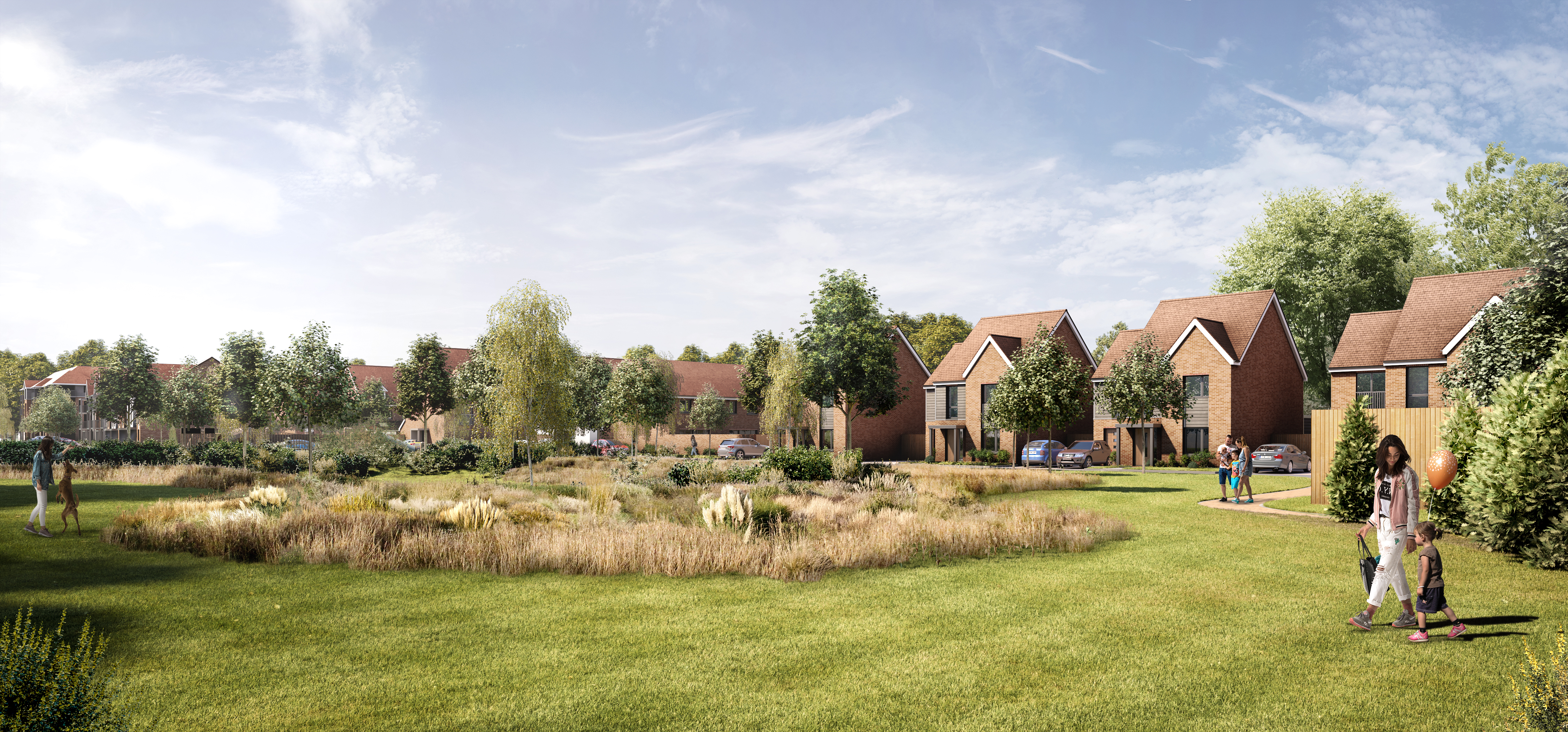
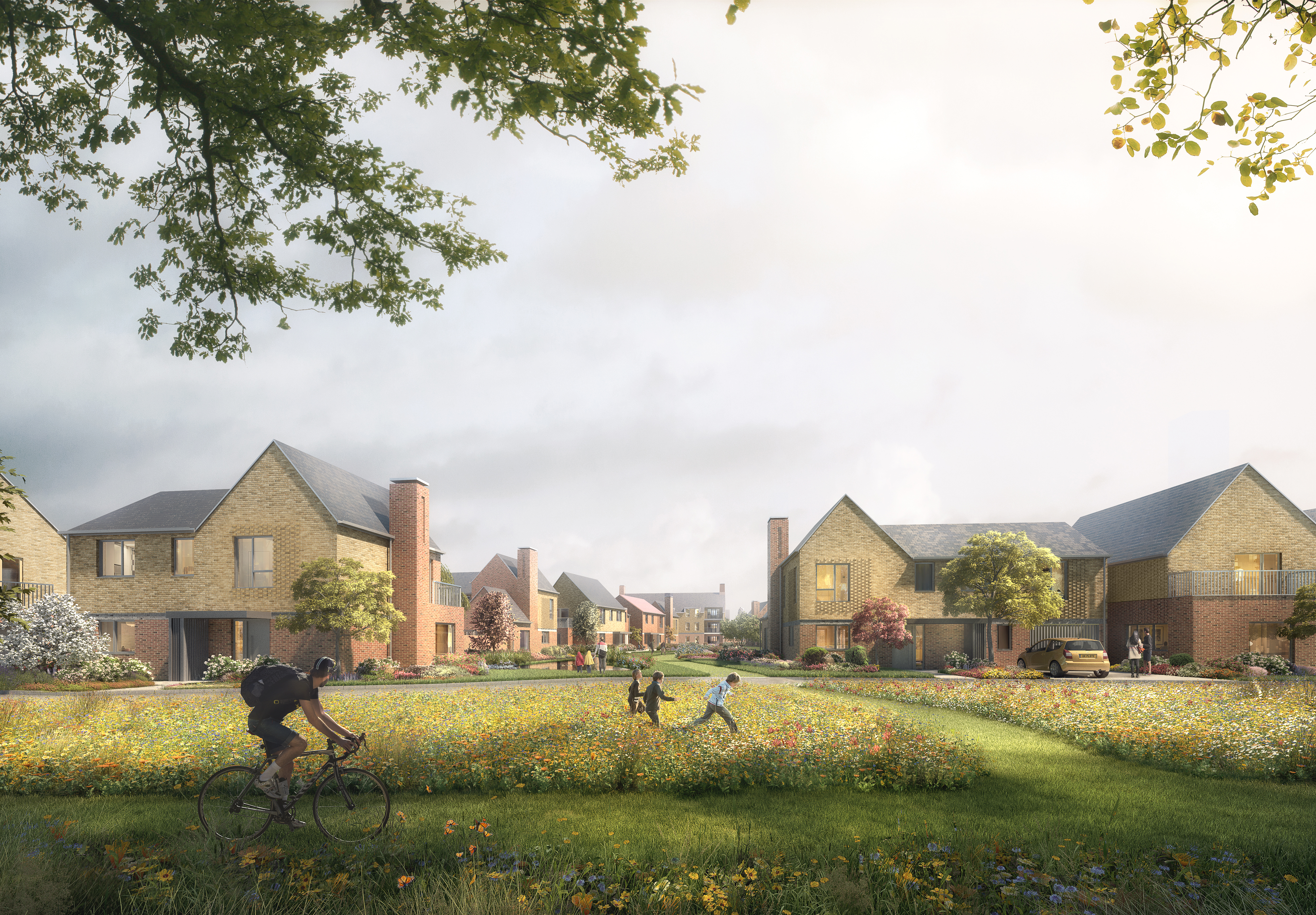
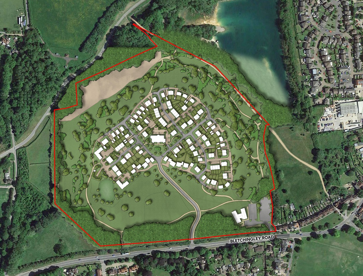
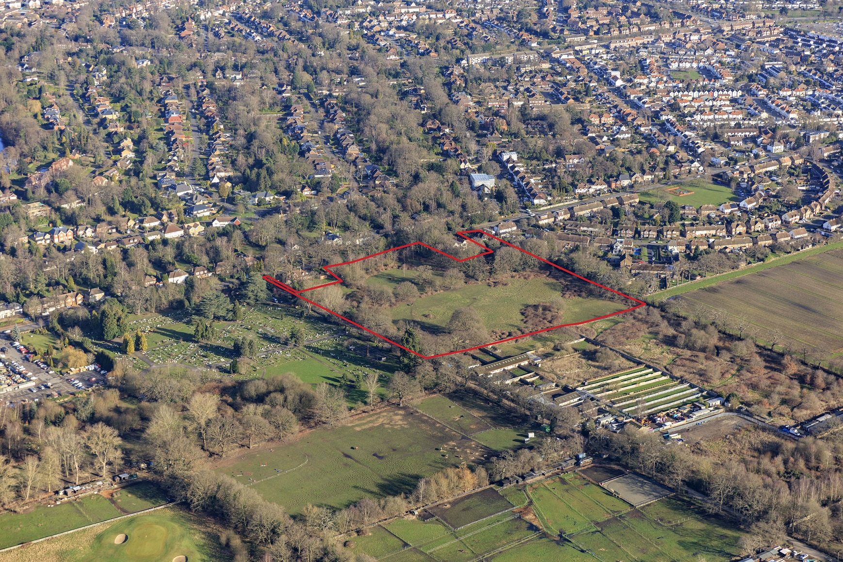
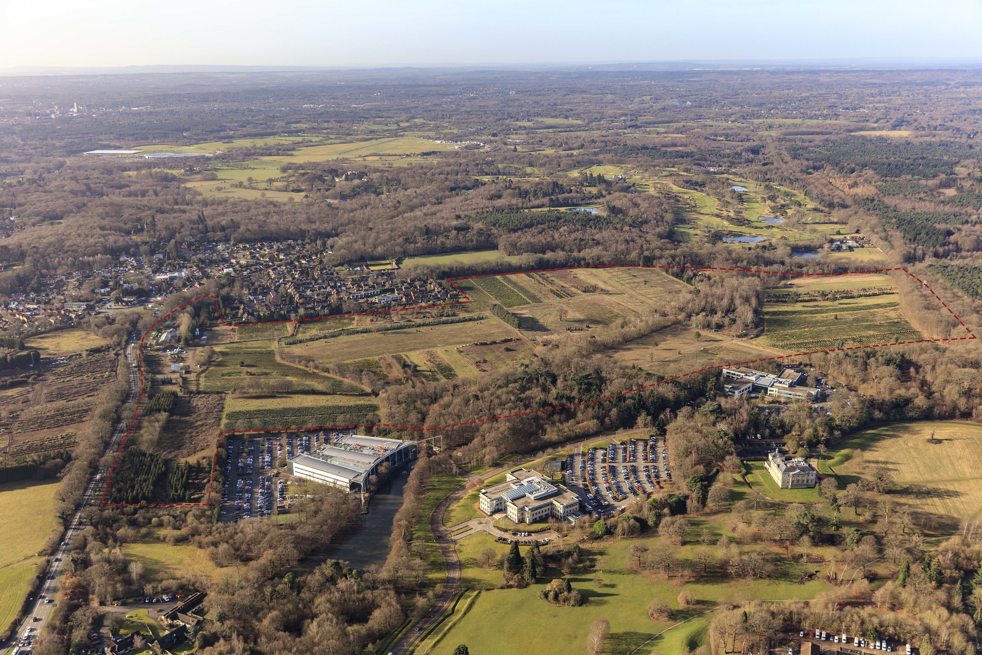
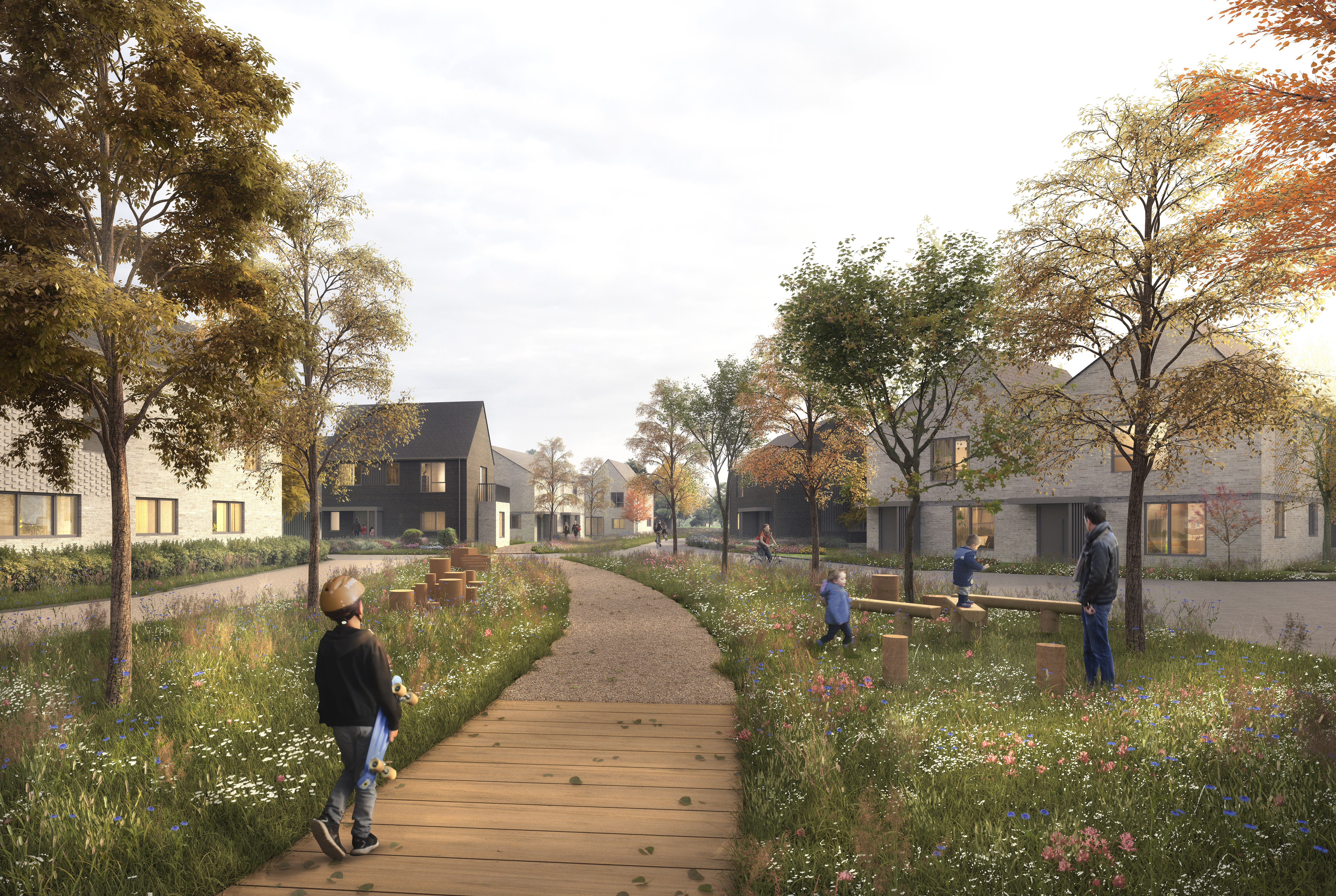
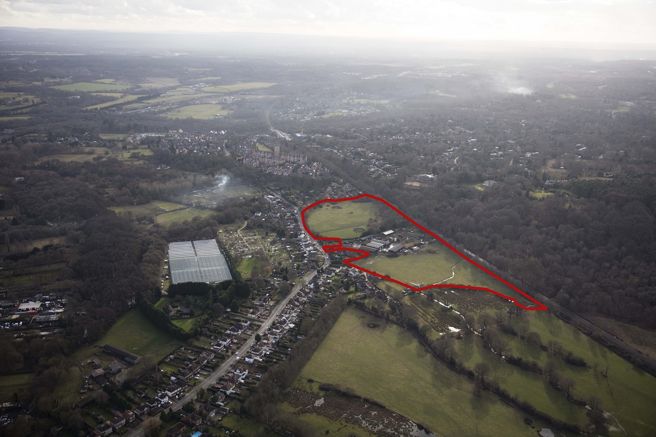
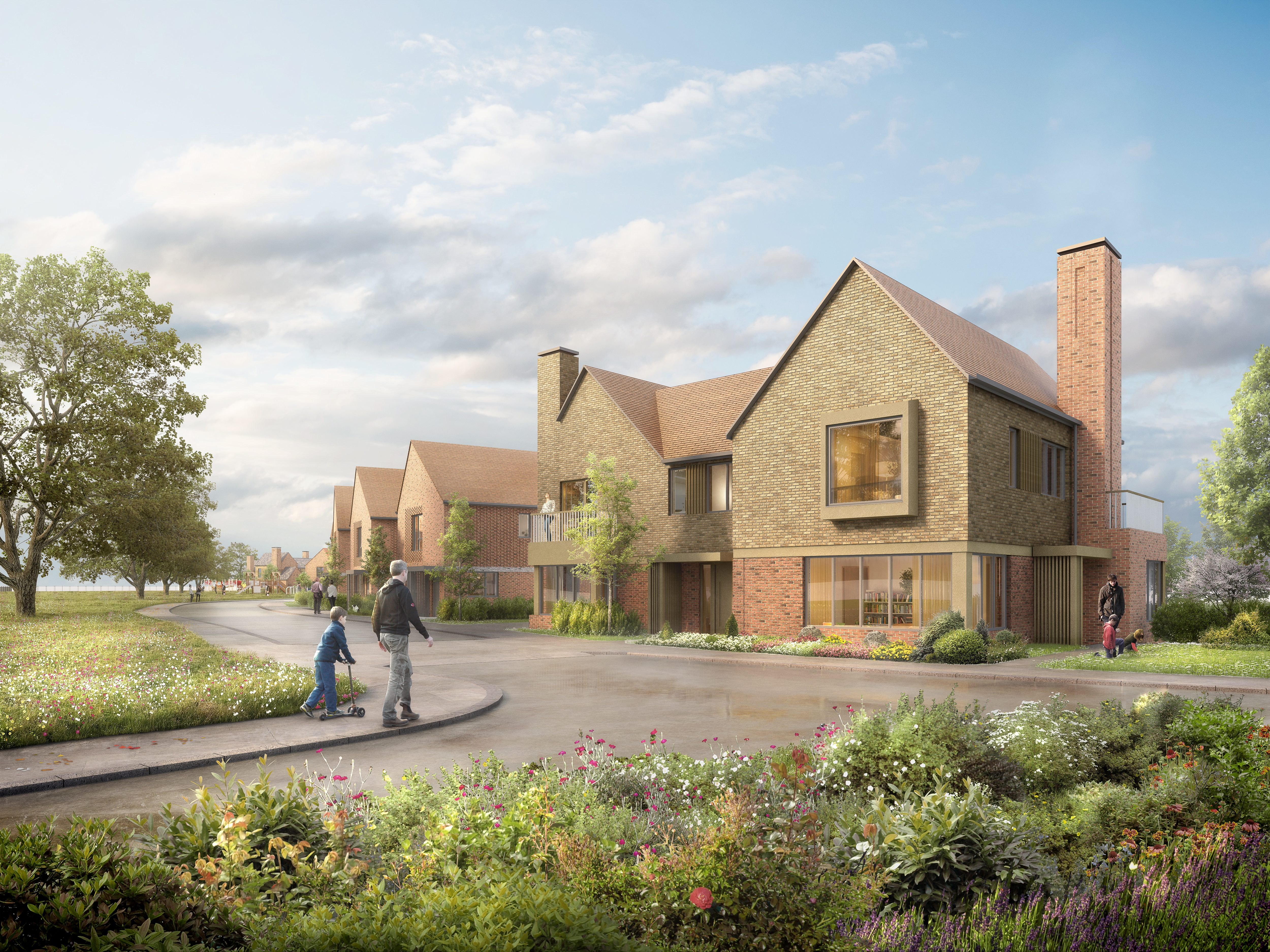
The site, measuring circa 28 acres, is formally a golf driving range and pitch and putt course, but this closed some time ago with the land being left vacant and disused.
Located on the edge of the urban area and situated immediatly opposite an overland train station, the land has potential for a sustainable and sensitive redevelopment to provided much needed new homes, open scpae and community uses.
The site comprises 5.1 acres to the south west of Caterham containing a covered reservoir, pumping station, existing detached dwelling and an area of historic landfill.
The land is being promoted through the development plan process to remove the site from the Green Belt and secure a residential allocation to allow a sensitive housing scheme.
Chertsey
Land at Hanworth Lane and Land at Guildford Road
View
In progress
Various land owenrships have been assembled to deliver the development.
The land at Hanworth Lane is a residential allocation for 158 new homes.
Planning permisison has now been granted for 158 dwellings plus new sports pitches for Salesians School, and an enhanced biodiversity area.
The scheme is being built in association with Barratt Homes.
The land, measuring a total of 50 acres, is part within Waverley Borough Council and part within Guildford Borough Council. An additional 29 acres of farmland to the south west of the site has been identified as a potential Suitable Alternative Natural Greenspace (SANG).
The redevelopment of the land would provide much needed housing, as well as large areas of valuable public open space, within a sustainable location a short distance from the train station and town centre.
A planning application for 262 new homes has been approved by Waverley Borough Council, and a separate application for the SANG has been appoved by Guildford Borough Council.
The appoved scheme in WBC is being built in association with CALA Homes, while the further land in GBC will be made available for more new homes should GBC require this to meet their housing supply requirements.
The site, containing two former quarries, comprises 54 acres of land immediately adjoining the western boundary of Godstone.
The land is being promoted through the Local Plan process for a sensitive development of new homes which compliments the village, and privides new public open spaces, woodland and ecological enhancements.
Site area of 120 acres currently used as a Christmas Tree Farm.
Conceptual masterplan in development to provide new homes plus a range of community uses including SANG, open space, recreational, educational and medical facilities.
Total site area of 18 acres with 4 acres of hardstanding and buildings. The entire site is within the Green Belt, located on the edge of Virginia Water in the borough of Runnymede.
The land is being promoted through the development plan process to remove the site from the Green Belt as a residential allocation.